
When the Water Comes Up Through the Streets: Norfolk's King Tide Season
Norfolk floods on sunny days now — the region's highest tides push the Elizabeth River into streets that drained fine a generation ago. November's perigean tides are the annual demonstration.
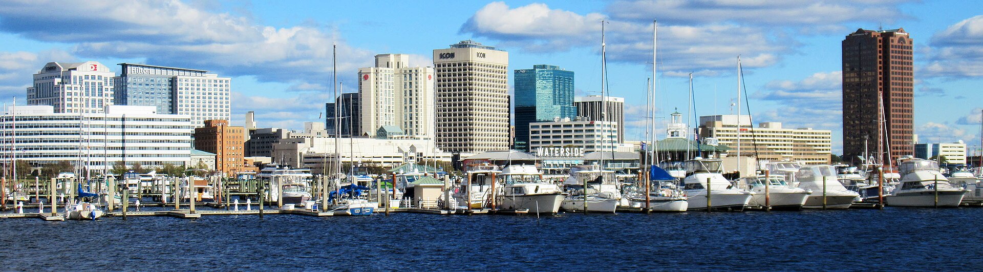
There is a category of Norfolk weather that arrives without a cloud: the king tides, the year's highest astronomical tides, when the Elizabeth River tops its banks in the city's lowest neighborhoods under a blue sky. They cluster in the fall, driven by the moon's closest approaches, and November's sets are among the year's highest.
The phenomenon has a name now — recurrent tidal flooding, 'nuisance flooding' in the federal reports — and Norfolk is one of its national case studies. The city's gauge at Sewell's Point has recorded roughly a foot and a half of relative sea-level rise since 1928 (the land here is also slowly sinking, a legacy of geology and groundwater), and the number of tidal flood days per year has climbed from occasional to routine within living memory. Lafayette River neighborhoods, Larchmont's edges, and streets around the Hague and downtown's low blocks know their flood maps by heart.
The science of a single event is simple: tide plus wind. A northeast wind stacks water into the bay and holds the river up through a tide cycle; add a king tide's height and the storm drains run backward, pushing water up through the system into streets blocks from any shoreline. No rain required. Residents read the tide tables the way farmers read the sky.
November's advice is the city's standing doctrine: know your street's number — the tide height at which it floods — move the car before the peak, never drive through salt water over a roadway (it hides depth and ruins brakes and bearings), and take the sunny-day floods seriously as what they are: not an emergency, but a forecast. The water is showing Norfolk its future on the installment plan.